

Key facts
- Rubin released its first LSST Camera image and a science catalogue of COSMOS on 31 July 2026; NOIRLab announced the Legacy Imaging Surveys update on 10 August.
- The COSMOS image combines hundreds of observations from the 3.2-gigapixel LSST Camera; NOIRLab reports more than 500,000 galaxies and over 50,000 stars.
- EDP2 brings together validation observations collected from April 2025 to January 2026 and covers about 3,000 square degrees; it is not the complete LSST dataset.
- The Legacy map covers about 75% of the sky, catalogues nearly four billion objects and contains 5.6 × 10^12 pixels; it combines 263,407 exposures from three ground-based surveys.
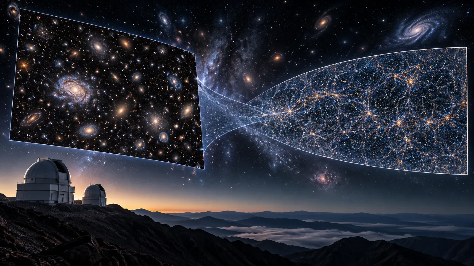
- The Legacy map is two-dimensional. DESI measures light at different wavelengths to determine distances and build a three-dimensional map of galaxies.
Related records
Astronomical images can show the sky, but they can also support measurements and comparisons between observations. On 31 July 2026, NSF–DOE Vera C. Rubin Observatory released its first LSST Camera image and catalogue for scientific use. On 10 August, NOIRLab announced an updated version of the DESI Legacy Imaging Surveys. These are separate initiatives with products of different scope. The details below come from Rubin’s institutional announcement and the Legacy Imaging Surveys update.
A deep view of the COSMOS field
Rubin’s image shows the COSMOS field in the constellation Sextans. Astronomers have studied this region for more than two decades: observations began with the Hubble Space Telescope in 2003, and telescopes have since examined it at wavelengths ranging from radio waves to X-rays. The field looks away from the more crowded plane of the Milky Way, so fewer nearby stars and dust clouds obscure distant galaxies.
The image was made by combining hundreds of observations from the 3.2-gigapixel LSST Camera, mounted on the 8.4-metre Simonyi Survey Telescope. NOIRLab reports that the result contains more than half a million galaxies and over 50,000 stars. It includes spiral and elliptical galaxies, as well as systems distorted by mergers. This is not a single exposure: stacking observations produces a deep view of this patch of sky.
Rubin’s planned contribution is more than taking another picture of a familiar field. The observatory will combine depth, wide coverage and repeated visits to COSMOS. Those observations can complement earlier work and help researchers study both the appearance of distant galaxies and changes in the sky over time. According to the announcement, COSMOS is among the regions that will be observed more often than most areas in the LSST survey.
What Rubin’s data preview includes
The image was released with the first phase of Rubin’s Data Preview 2 (EDP2). This release brings together science-validation observations collected from April 2025 to January 2026. The announcement says it provides a deep co-added image and data covering about 3,000 square degrees, roughly one-sixth of the sky visible from the Southern Hemisphere.
EDP2 is not the complete LSST dataset. It is a preview with scientific value in its own right, and it also lets the Rubin science community test tools and validate data products ahead of the ten-year survey. LSST—the Legacy Survey of Space and Time—is the observatory’s primary mission: repeatedly observing the sky over a decade. Those repeated visits are designed to study objects and detect transient or variable phenomena such as supernovae.
The announcement, published in July, placed the second EDP2 phase in the October–December 2026 timeframe. It was expected to add products from individual images, difference images—which show changes detected between observations—and reference images for comparison. That was a forecast, not confirmation that the phase was already available. The access described was open to researchers in the United States and Chile, as well as authorised international data-rights holders. Observatory policy provides for those products to become public after a two-year proprietary period.
A two-dimensional map of nearly four billion objects
The DESI Legacy Imaging Surveys update, announced on 10 August, covers about 75% of the sky in visible and near-infrared light. NOIRLab reports that it catalogues nearly four billion objects and contains 5.6 × 1012 pixels. The public can explore the map with the Legacy Survey Sky Viewer; the complete catalogue can be queried as a database through Astro Data Lab, part of NOIRLab’s Community Science and Data Center.
The map brings together data collected over 13 years and combines 263,407 exposures from three ground-based surveys. DECaLS used the 570-megapixel DECam camera on the four-metre Víctor M. Blanco Telescope at Cerro Tololo Inter-American Observatory in Chile. MzLS used the four-metre Nicholas U. Mayall Telescope at Kitt Peak. BASS, from the University of Arizona’s Steward Observatory, observed with the 2.3-metre Bok Telescope at Kitt Peak and was supplemented by data from NASA’s WISE space mission.
The catalogue includes stars, galaxies, black holes, asteroids and other objects. Its two-dimensional nature is essential to understanding what it shows: it records where sources appear and how bright they look in images, but does not by itself provide the distances needed to place them in three dimensions.
From images to distances: DESI’s role
The Legacy Imaging Surveys were originally carried out to prepare for DESI, the Dark Energy Spectroscopic Instrument. The image map helps select objects and identify where to observe them. DESI measures their light at different wavelengths to determine their distances and build a three-dimensional map of galaxies. Researchers can use that map to study how galaxies were grouped at different times and track the evolution of dark energy.
NOIRLab’s announcement says DESI completed its initial five-year survey in April 2026 ahead of schedule and would continue observing through 2028. It also reports indications that dark energy’s effect might weaken over time; improved results from the first five years were expected in 2027. The announcement presents this possible evolution as a question still under study, not a definitive conclusion.
Two products, two different scopes
The COSMOS image and the Legacy map meet different observational needs. Rubin combines exposures to observe a specific region deeply and return to it to study change. The Legacy map provides a broad reference for locating and selecting objects for research such as DESI’s. Moving from a two-dimensional image to a map with distances depends on DESI’s spectroscopic measurements, not on the image alone.
The products also differ in access and scope. EDP2 is a preview, not the complete LSST; the announcement describes restricted access for some of its products and a planned public release after two years. The Legacy map, by contrast, is presented as public, but its positions and brightness values are not distances. These figures, features and schedules come from institutional announcements: they describe the products and programme, but are not themselves a peer-reviewed scientific assessment. Keeping these distinctions clear helps explain what the observatories provide—and what additional measurements are needed to answer other questions.