

Key facts
- NASA published the information on September 24, 2026.
- NISAR is described as a US-India Earth-observing satellite.
- Krasheninnikov is on Russia’s Kamchatka Peninsula and is described as a pair of volcanoes.
- NASA’s description shows lava spreading from the northern crater.
- An 8.8-magnitude earthquake struck the nearby ocean on July 30, 2025; any link to the eruption is presented cautiously.
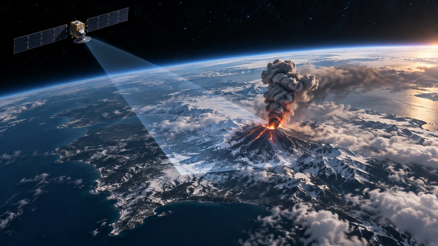
- NISAR captured an image of the volcano on December 25, 2025, from 747 kilometers above Earth, while finishing post-launch checks.
Related records
On September 24, 2026, NASA reported that NISAR, an Earth-observing satellite identified as a US-India mission, captured a time-lapse video of an eruption at Krasheninnikov volcano. The event took place on Russia’s Kamchatka Peninsula, on the Pacific coast. The new development is NASA’s presentation of these observations; the available material also gives some context about the volcano, an earthquake that may have preceded the activity, and an image taken by the satellite.
What the observation shows
NASA’s description compares lava flowing from the northern crater to tendrils spreading along a vine. Krasheninnikov is described as a pair of volcanoes. According to the publication’s title and description, NISAR captured the eruption in a time-lapse sequence, a way of presenting changes observed over time in a shorter playback. The information provided, however, does not say how many images make up the sequence or how much real time it covers.
NASA also says the satellite captured an image of Krasheninnikov on December 25, 2025. At that point NISAR was 464 miles (747 kilometers) above Earth’s surface and was finishing its post-launch checks as it became operational. The source does not say whether that particular image is part of the video or explain how it relates to the other observations in the sequence.
The volcano and the earthquake
Krasheninnikov is located on Kamchatka, a Russian peninsula extending into the Pacific. NASA’s description characterizes it as a pair of volcanoes and locates the observed lava at the northern crater. The available material provides no further details about the eruption’s extent or duration, the volume of lava, or effects on communities or the environment. The images therefore support describing observed eruptive activity, but are not enough on their own to quantify its scale.
NASA’s account of the geological context begins on July 30, 2025, when an 8.8-magnitude earthquake struck the nearby ocean. The description says the quake apparently jolted one of the two volcanoes awake and that activity followed a few days later. That wording presents a possibility, not an established causal link. The supplied information does not explain what evidence supports the connection or determine whether the earthquake triggered the eruption.
What NISAR contributes—and what remains unknown
In this case, NISAR serves as an observation platform: from orbit hundreds of kilometers above the surface, it captured images of a remote volcanic area. NASA describes the satellite as a US-India mission to observe Earth. The available information does not describe the instruments used to produce these images, their technical characteristics, or the method used to create the video. It would therefore be inappropriate to attribute specific measurements or capabilities to the sequence that the summary does not mention.
A satellite image can document how a place looks from above, and a time sequence can help show change. But the material provided does not explain what analysis accompanied the images or whether researchers used them to measure how the lava evolved. It also contains no risk assessment, forecast of future eruptions, or information about damage. Those questions fall outside what can be asserted from this evidence.
The timeline, treated cautiously
The dates available should be considered separately. The earthquake occurred on July 30, 2025; the NISAR image is dated December 25, 2025; and NASA published the information on September 24, 2026. The description says volcanic activity followed the earthquake by a few days, but gives no exact date for the eruption’s onset. Nor does it clarify when each image in the video was captured.
As a result, it is not possible to conclude that the December 25 image was taken during the eruption’s first days, or to establish from the available information how long the episode lasted. The dated image and the reference to a time-lapse sequence are separate pieces of information, and the summarized publication does not specify how they connect.
An observation, not a definitive explanation
NASA’s announcement provides a view from space of lava spreading from Krasheninnikov’s northern crater and places that activity in a context that includes a major nearby earthquake. It also illustrates one use of Earth observation: recording a phenomenon in a remote region. But the description itself keeps the link between the quake and the eruption tentative.
On the available evidence, the firmest conclusion is that NISAR captured images of the volcano and NASA presented them as a time-lapse sequence of its eruption. The possible influence of the earthquake, the full extent of the activity, and the video’s technical details remain unestablished in the published information.