

Key facts
- NASA published Moon Phase and Libration, 2026 on December 11, 2025; the visualization shows geocentric phase, libration, axis orientation, and apparent diameter at hourly intervals throughout 2026.
- Libration is an apparent change in perspective related to the tilt and shape of the lunar orbit; the Moon keeps nearly the same face turned toward Earth.
- The sublunar point is the apparent center of the disk and the point on the lunar surface where Earth is directly overhead; its position makes it possible to describe libration in longitude and latitude.
- LRO has orbited the Moon since the summer of 2009. Its LOLA laser altimeter and LROC camera record the terrain in great detail.
- Long shadows near the terminator—the boundary between lunar day and night—highlight the relief represented using global maps such as those from LRO.
- Phases result from changes in solar illumination; libration changes perspective, and perigee and apogee are the nearest and farthest points in the Moon’s distance. NASA says these extremes can differ by up to 14%.
- The visualization shows celestial north at the top, from a Northern Hemisphere perspective; NASA also offers a version with south at the top.
Related records
The Moon’s near side is familiar, but it does not look exactly the same in every observation. Over the course of a month, we see it from slightly different angles because of the tilt and shape of its orbit. In an animation that compresses a month into 24 seconds, this gradual change is perceived as a rocking motion. NASA calls this apparent motion libration.
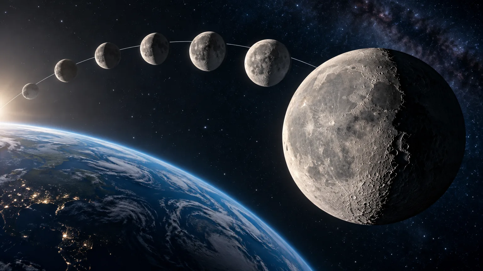
NASA’s Scientific Visualization Studio published its visualization Moon Phase and Libration, 2026 on December 11, 2025. The animation represents the geocentric phase, libration, axis orientation, and apparent lunar diameter at hourly intervals throughout 2026. It is a visual guide for distinguishing changes that can appear together on the lunar disk but have different causes.
What it means for the Moon to seem to rock
Libration describes a change in perspective: the Moon keeps nearly the same face turned toward Earth, but from our vantage point we do not see exactly the same portion of its surface. The tilt and shape of the orbit cause the viewing angle to vary over the month. When this interval is played back quickly, the disk seems to tip from side to side.
NASA relates this motion to the sublunar point, defined as the apparent center of the lunar disk and the point on the surface where Earth is directly overhead. Its position makes it possible to describe the amount of libration in longitude and latitude. It is therefore a geometric reference for tracking how the Moon’s apparent orientation relative to Earth changes.
The source also describes another motion: the Moon seems to roll back and forth around the sublunar point. The angle of this rotation is expressed by the position angle of the axis, that is, the angle of the lunar north pole relative to celestial north. The visualization includes this orientation along with libration; they are not two names for the same change.
LRO’s role in depicting the terrain
The geometry explains the change in perspective, while terrain maps provide the shape of the represented surface. The Lunar Reconnaissance Orbiter (LRO) is a NASA mission that has been orbiting the Moon since the summer of 2009. Its LOLA laser altimeter and LROC camera record the rugged, airless lunar terrain in great detail, according to the visualization’s description.
This relief is especially apparent near the terminator, the line separating the illuminated part of the Moon from its night side. Long shadows are cast there, highlighting irregularities in the landscape. NASA explains that computer-rendering this rugged terrain and the relief revealed by shadows requires global terrain maps, such as those obtained by LRO.
The two contributions are therefore complementary: libration describes how the angle from which the Moon is observed changes, while LRO data make it possible to depict the surface. The mission is not the cause of the apparent rocking; its instruments provide terrain information that adds detail to the visualization.
Phases, distance, and libration: distinct phenomena
Lunar phases depend on the changing angle between the Sun, Moon, and Earth as our satellite orbits the planet. This change alters the illuminated portion we see. Libration, by contrast, is a variation in the viewing angle. A waxing phase or a full Moon is therefore not a form of libration, even though both aspects change during the lunar cycle.
The apparent size also varies: the Moon moves closer to and farther from Earth along its orbit. The nearest and farthest points are called perigee and apogee, respectively. NASA notes that these extremes can differ by as much as 14%. This variation in distance and apparent size is distinct from both the phases and the rocking of perspective.
NASA’s animation brings these aspects together for 2026: geocentric phase, libration, axis position, and apparent diameter, shown hour by hour. In its images, celestial north is at the top, in keeping with the perspective of the Northern Hemisphere; NASA notes that a version with south at the top is also available. Keeping this orientation in mind helps viewers interpret the representation correctly.
How to read the 2026 animation
When watching the sequence, it is useful to separate what changes in each element. The illuminated portion indicates the phase; the disk’s rocking makes libration visible; the axis orientation shows the angle of the lunar north pole relative to celestial north; and the apparent diameter reflects changes in size as seen from Earth. The accompanying graphics place the Moon in its orbit and show the Earth–Moon distance to scale.
The visualization also identifies craters near the terminator, which appear and disappear from the labels as this boundary between light and shadow moves across the disk. Together with LRO’s maps, this representation makes it possible to relate the change in perspective to the terrain that casts shadows. The surface does not change shape during the month: what varies is the view, the illumination, and the distance, while the relief data provide the basis for the image.
In summary: libration is the apparent rocking caused by changes in perspective over the month, associated with the tilt and shape of the lunar orbit. Phases reflect illumination; perigee and apogee are the distance extremes; and LRO instruments provide detailed maps for depicting the terrain. NASA’s visualization, published for 2026 with hourly intervals, makes it possible to observe these elements without confusing their causes.